![Hantangang River [National Geopark]](https://tong.visitkorea.or.kr/cms/resource/52/2675252_image2_1.jpg)
Hantangang River [National Geopark]
한탄강(국가지질공원, 고석정) · Gangwon · Parks & nature
Goseok Rock, located in the area of Hantangang River, is a granite rock that reach 15 meters in x_height. The area is often called Goseokjeong, named after the nearby Goseokjeong Pavilion. The area is an important geology and topography learning site where it is visible to see the topography before the formation of the basalt lava field and the fact that the basalt lava flowed over the bedrock to form the lava field. Goseok is a bedrock that existed before the area of Cheorwon was covered with lava, and is a granite formed underground about 110 million years ago (mid Cretaceous period). It is covered in basalt lava by volcanic activity that occurred between about 540,000 and 120,000 years ago, and then eroded by the Hantangang River to form a new waterway.
| Type | Parks & nature |
|---|---|
| Region | Gangwon |
| Address | 1825 , Taebong-ro, Cheorwon-gun, Gangwon-do |
| Closed | Security tour does not operate on Tuesdays and during Seollal (Lunar New Year's Day) & Chuseok (Korean Thanksgiving Day) holidays |
Getting there
Within walking distance
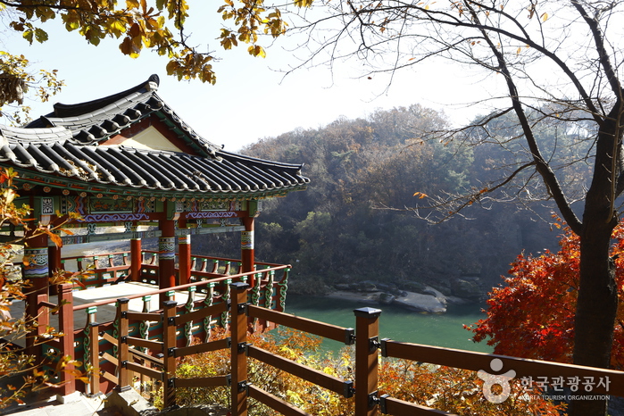
Goseokjeong National Tourist Area
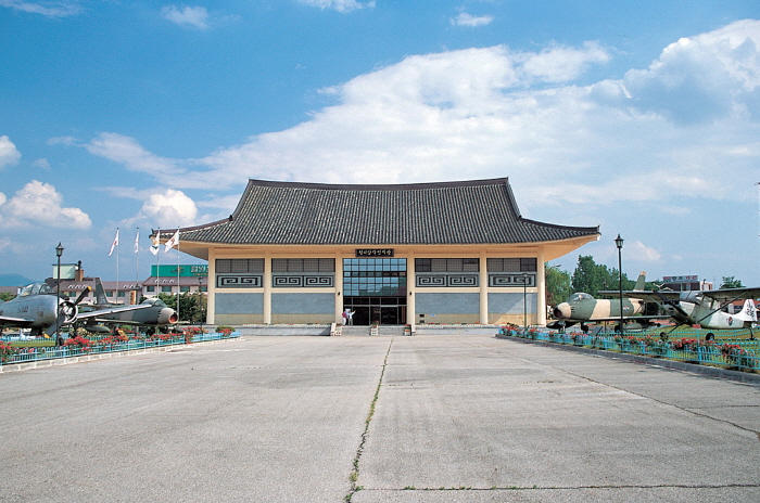
Cheorwon Facilities Management Office (Formerly, Iron Triangle Battlefield
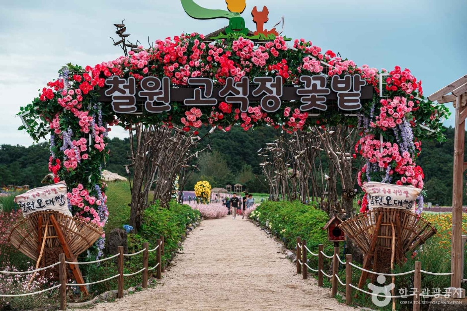
Goseokjeong Flower Field
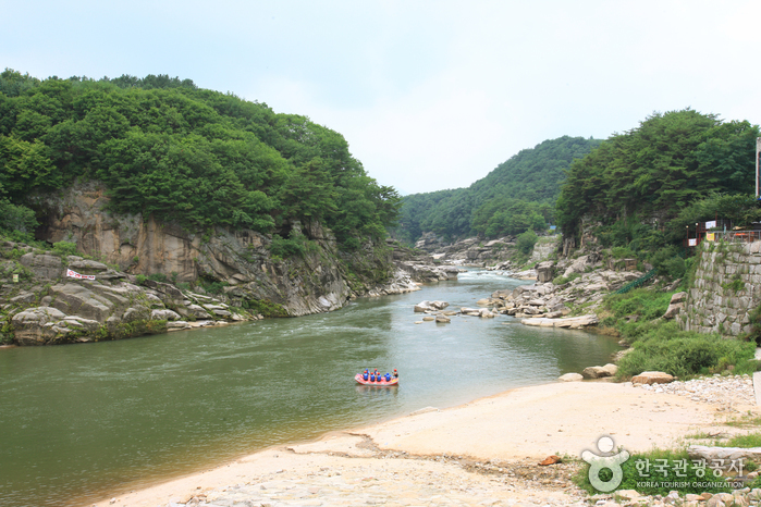
Sundamgyegok Valley
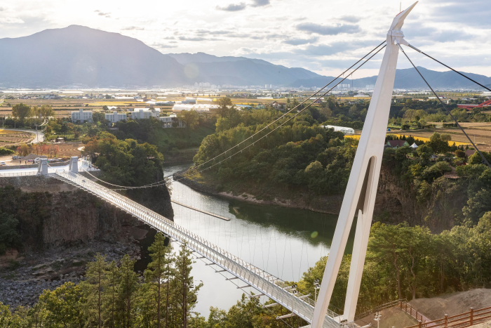
Cheorwon Hantangang Milky Way Bridge
![Jiktangpokpo Falls [National Geopark] (직탕폭포 (한탄강 국가지질공원))](https://tong.visitkorea.or.kr/cms/resource/28/4121328_image2_1.jpg)
Jiktangpokpo Falls [National Geopark]
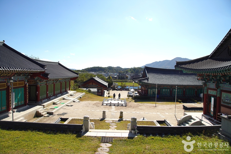
Simwonsa Temple
![Sambuyeonpokpo Falls [UNESCO Global Geopark] (삼부연폭포 (한탄강 유네스코 세계지질공원)](https://tong.visitkorea.or.kr/cms/resource/38/1750438_image2_1.jpg)