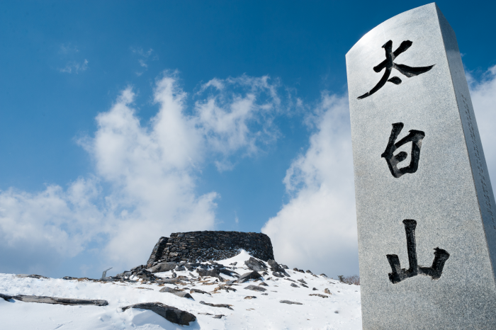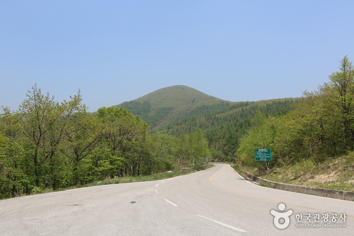
Hambaeksan Mountain
함백산 · Gangwon · Hiking & mountains
With an elevation of 1,573 meters above sea level, Hambaeksan Mountain is the tallest mountain in the eastern part of Gangwon-do. The main ridge of the mountain stretches between the city of Taebaek to the east and Yeongwol and Jeongseon counties to the west. The mountain offers a fine vantage point from which to get a sweeping look at the entire region (including Taebaeksan and Baegunsan mountains) and commands a striking view of the sunrise over East Sea. Hambaeksan Mountain is particularly well known for its breathtaking snowscapes and extensive wildflower beds.
| Type | Hiking & mountains |
|---|---|
| Region | Gangwon |
| Address | 4246-55, Taebaeksan-ro, Taebaek-si, Gangwon-do |
| Closed | N/A (Open all year round) |